Global warming. Heat waves. Droughts. And snow? That’s right. Despite the Earth, on average, getting warmer because of climate change, it won’t become warmer everywhere all the time. Don’t get me wrong — if you love skiing or snowshoeing, I have bad news for you: The Cascades will likely lose much of their snowpack by the time we’re adults. The Climate Impact Group at the University of Washington predicts that the number of days of continuous snow cover at 4,500 feet in elevation will decrease from 142 to just 87 days. We’re already seeing the impact of this in ski areas like Snoqualmie or Stevens Pass. In past years, Snoqualmie would routinely open in late November, but this year, as of December 1, the mountain had a grand total of … five inches of snow. Yikes.
That result makes sense for the mountains, but it can’t explain what we’ll see in the city. Seattle is famously almost devoid of snow — in a normal winter, it hardly sees more than four inches. So, you might think that, with global warming, snowstorms will become a worry of the past, but this is not the case. The Pacific Northwest is climatically fascinating because, except for Europe, no other location this far north gets this little snow. We live 400 miles north of both Boston and Vladivostok (a Russian city next to the Pacific Ocean), but those places get 50 and 80 inches of snow each year, respectively — despite also being next to the ocean. So, what gives? As you probably know, Seattle can get a bit windy in the winter. In particular, we have westerly winds that blow in from the Pacific. It’s much harder to change the ocean’s temperature than the air’s, so the Pacific retains summer heat, radiates it during the winter, and thus moderates the temperature. That’s why Seattle winters average only four degrees colder than Atlanta.
But global warming stands to disrupt well-established climate patterns across the globe, including Seattle’s. It’s likely that the Pacific’s warm westerlies will wane in the coming decades, leaving Seattle much colder than before. In fact, you might remember that cold stretch from two weeks ago — right after Thanksgiving break — when it barely reached 40 degrees in the afternoon; that was caused by southeasterly, rather than southwesterly, winds. With these masses of cold air and several bodies of water nearby, it is not inconceivable that Seattle could see massive deluges of white powder whenever winds suddenly switch from southwesterlies to southeasterlies or northerlies (winds coming from our good friends in Canada).
Beyond prevailing winds, there’s another wild card that will shift the landscape — or should I say airscape — around here: the scarily named polar vortex, which is the extremely cold air near the poles hemmed in by the polar jet stream. Normally, this river of air hundreds of miles thick flows a couple hundred miles north of Seattle — through the Canadian Rockies — but global warming has meant its path is now much more variable, so at times, it can veer as far south as Oregon or Northern California, leaving Seattle saturated with frigid, polar air. This is actually what caused the great Seattle snowstorm of 2019, which resulted in almost a foot of snow overnight. In this case, we have a scenario similar to rapid shifts in prevailing wind directions: snow followed by a long period of sunny, subfreezing weather.
Seattle’s average temperature, however, will not decrease, meaning that it won’t often snow, but when it does, it’ll do so rapidly and with a vengeance. The short transition times from rainy, warmer weather to colder, sunny days might also result in freezing rain and ice on roadways.
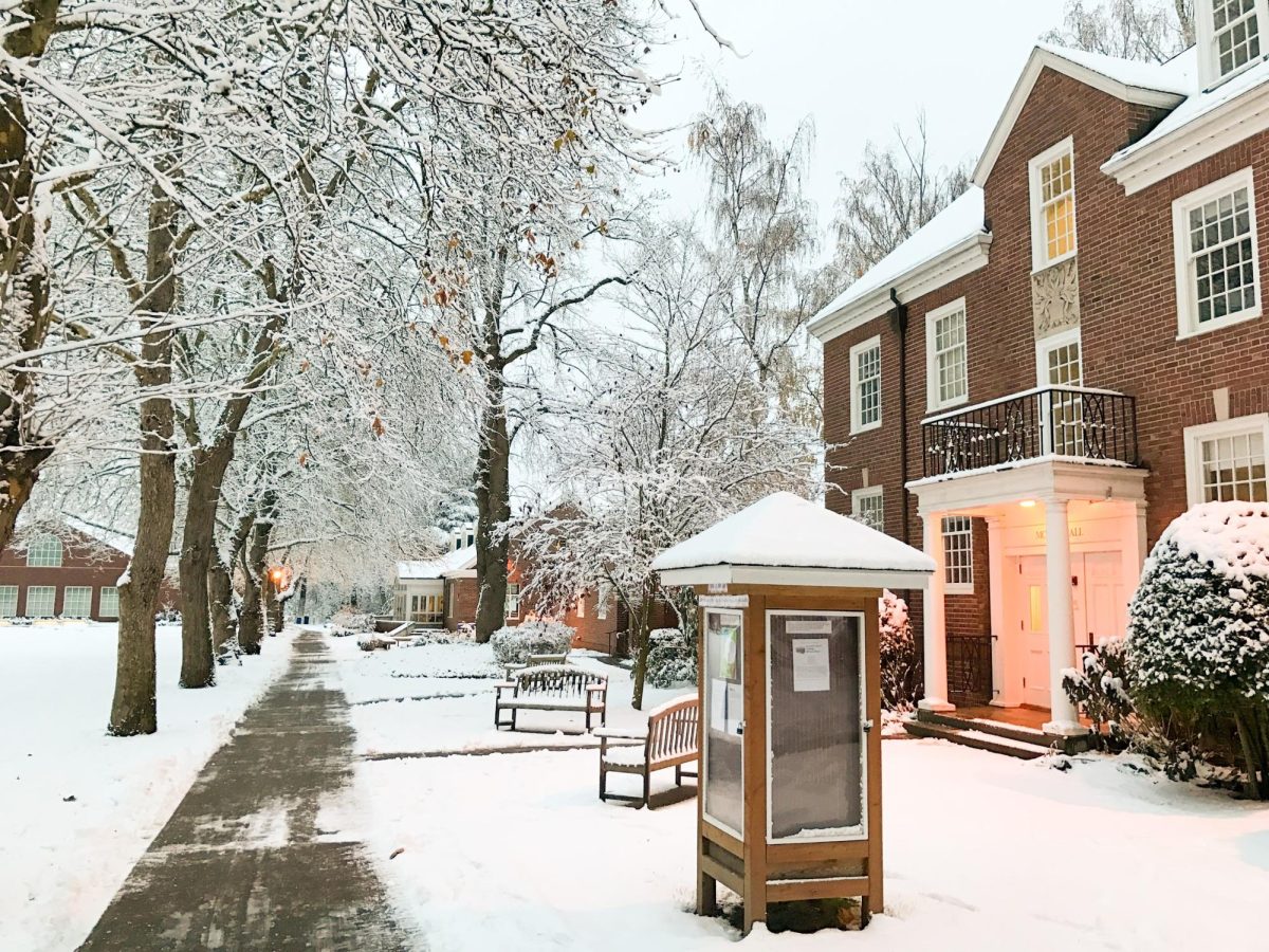
What does this mean for Lakeside? Our school has a contingency plan for snow days: after one day, asynchronous work, and after two, synchronous, remote classes — everybody’s favorite. Heavy snowstorms, rapid ice formation, and sustained frigidity mean more work to plow roadways and more time until school can reopen, which will likely entail one or more days of Zoom classes. So the next time you see snowflakes before bed, you might want to put away that parka and whip out a charger long enough to reach your bed from the nearest outlet.